Under CAP reform, German farmers are eligible to receive a premium of €190 per hectare when they provide proof of certain plant species growing in their grassland. Sumi Agro offers a drone for AI-based analysis to identify these plants.
KEEPING IT BRIEF
- AnyA enables the identification of plant species that are eligible for agricultural support funding.
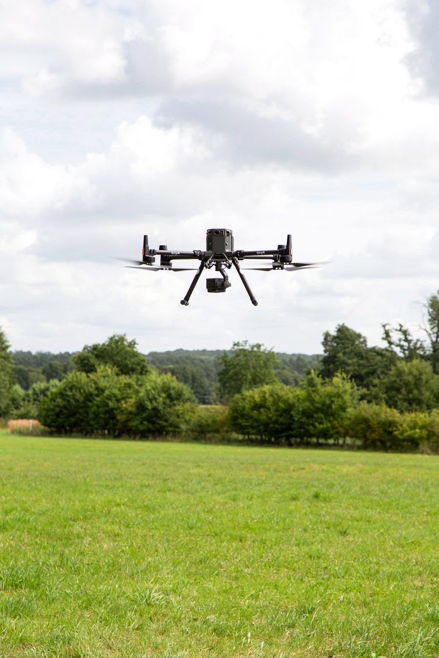
- As a first step, a drone flies over the grassland and takes photos. The data is then analysed by an AI portal.
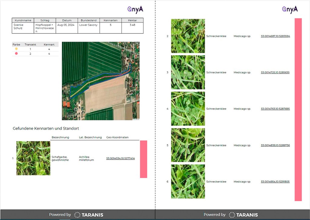
- Based on country-specific specifications, a report shows whether the required character species have been found.
Admittedly, we were rather sceptical. Can a drone flying 22 metres high determine individual plant species in various stages of growth? The provider even goes one step further and analyses whether the required plants can be verified within the corridors defined, using the specific regs for each federal state. This is important, because each federal state requires different species, and the course of the transect — this is the defined line along which the character species must be present — is not uniformly defined either. Across all of the states there are more than 230 plant species, all of which the AnyA is able to spot, says the company.
Choose the right time
The dynamics of a growing crop are the main challenge when it comes to choosing the ideal time for the drone to fly over. Sumi Agro recommends a crop height of about 20-40cm, ideally before the first cut. But a flight over the field after first cut can also work out. According to the company’s past experience, the drones even discover other character species.
As the AI is constantly trained, the portal can now identify a large number of species in both vegetative and generative stages. Yet, for specific plants the most reliable classification time is when the plant is in full flower (inflorescence).
Ideally, the camera on the drone has an open view of the crop. Very dense or lodged grasses in particular will push the system to its limits — similar to when you look at the pasture with your own eyes.
Upload the field boundaries
The process: once you’ve decided to use the service, book an appointment at Anya.de. During the booking process, upload your field locations; for example, the information you entered in your CAP application.

Based on this map, Sumi Agro calculates a flight path for the drone to gather exactly what’s needed for the federal state where the farmer is located. The uploaded files can be Shape and KML files. The drone then flies over only the transect area that is required for detecting the species.
When we tried to upload that data taken from a CAP application of a farmer in Lower Saxony, it didn’t work. The company then offered us the alternative of sending the required data by e-mail. The minimum field size is 1ha and the service costs €50/ha.
Processing the data takes three days. In the meantime, the company hires a local drone pilot and generates the flight routes.
The planned flight route
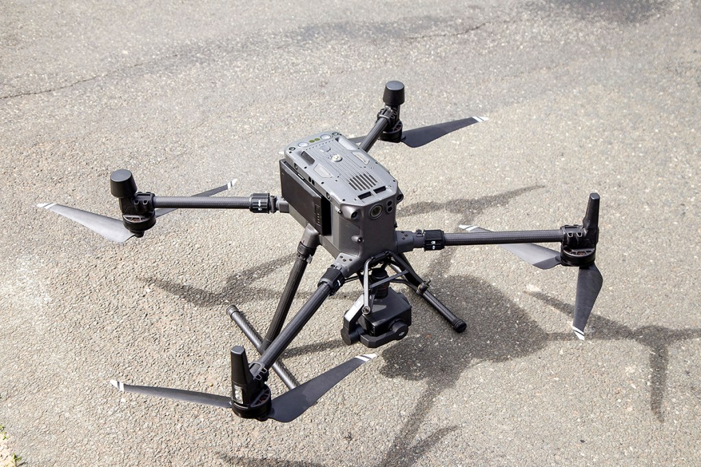
The company plans the flight by taking into account residential areas, wind turbines, high-voltage power lines and other kinds of restricted area. In Germany, the pilots are allowed to fly their drone at a distance of 10 metres from inhabited properties and railway lines. Even though the drones used (DJI M300 with an H20 camera) would in principle have a range of about 15km, they are only flown by sight.
On the day when the flyover is planned, the weather needs to be right, which means no rain, no wind. Any rain distorts the visual representation of the plants, while wind leaves the photos blurred. This means you need to leave enough time between the flight date and when you plan to mow, in case there is a hiccup. The pilot will have the final say on when the job can be done, and the farmer doesn’t need to be present when the job is underway.
Nevertheless, we were on the site for the flyover and watched on as the pilot flew the drone over three fields. The first was a meadow after first cut with about 40cm of growth; the next a pasture that had been largely grazed; and lastly a meadow with recently cut plots and uncut plots.
In flight
The flight time itself is relatively short. The drone needs about 1 to 2 minutes for 1ha, depending on the layout of the field. It flies at a consistent height of 22 metres, with a laser sensor inside the camera taking over height control.
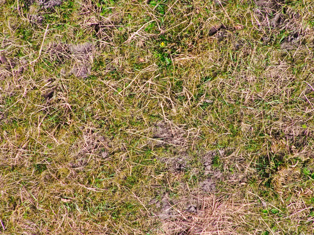
During the flight, the camera constantly takes high-resolution photos, which are then superimposed on the entire flight path. The software, which is used later, has the ability to recognise even the smallest plant parts up to 2x2mm in size in the photos.
Speaking of software, as a first step the pilot initially uploads the photos to a cloud. From there, the AnyA online portal accesses the data and analyses it with the help of AI. AI analyses all the photos that were taken completely autonomously and compares every single plant that the trained models can detect.
And, lo and behold, AnyA found the required species in all three fields. Even in the uncut patch, where the very stemmy, dead grass was lodged and entangled, AnyA could still recognise the plant species on the ground. The analysis also revealed the required character species on the grazed pasture. All species detected are then listed in a pdf document.


Double documentation
Unfortunately, the document that’s created, and even includes GPS position photo data, is not considered to be sufficient proof by the inspection authorities. Some federal states ask for proof in paper form and some also require georeferenced photo evidence that is provided in each state’s inspection app.
Despite these various issues, AnyA makes the process much easier: Depending on the GPS accuracy of your mobile phone, you can use the grid positions provided to locate the character species down to an accuracy of a few metres. You can quickly take a photo within the control app — and that’s photo verification done with. This saves you time on finding the plants, which should not be underestimated depending on the size and layout of the fields.

Summary
The identification of species with the help of AnyA is an intriguing tool for grassland farmers, especially for those who lack the time for physically scouting fields. Even when using plant identification apps such as Flora Incognita, the time required for manually searching and finding is immense. We also think AnyA will be helpful for those farming businesses that are unsure about some aspects of plant identification.
Although the technology is meeting a need in Germany to document plant species, it could be applicable to UK and Irish farmers wanting to learn exactly what’s growing in their pasture. And if the price becomes more attractive, then it could answer questions on sward health and what particular spray could best target any unwanted plants.
Sönke Schulz
For more up-to-date farming news click here and subscribe now to profi and save.