The recent acquisition of North American based Sentera gives John Deere a leading provider of remote imagery solutions for agriculture.
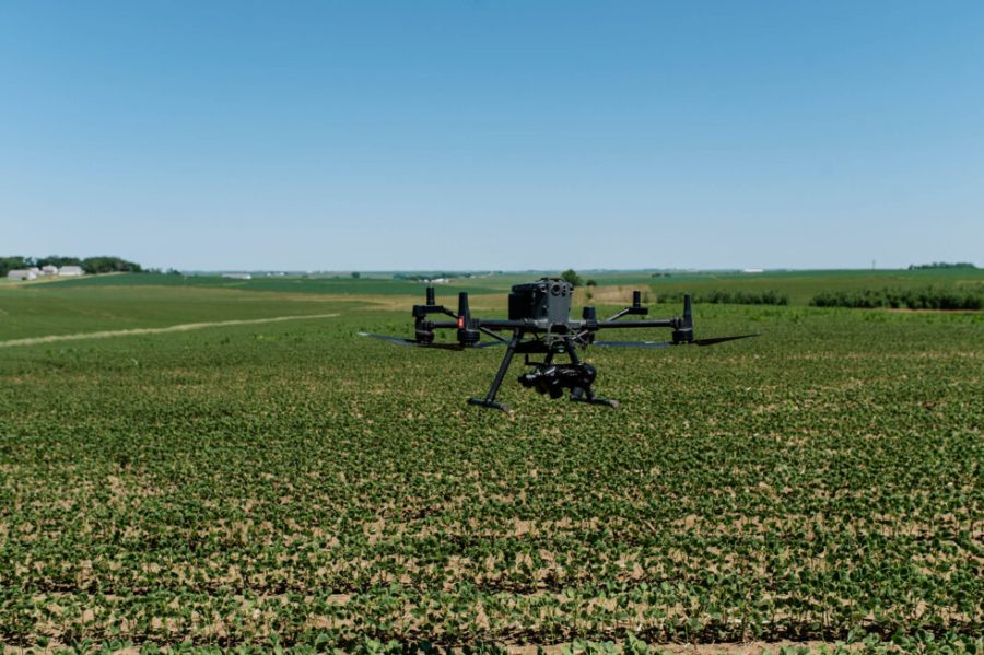
Headquartered in Minnesota, Sentera’s cameras are compatible with most major drone platforms. Drones equipped with the technology fly over fields at high speeds. The high-resolution images generated are processed to identify the exact location of specific weeds and generate a weed map.
This map becomes a targeted prescription for how much active ingredient needs to be loaded into sprayers with individual nozzle control. Once the prescription is generated, it can be wirelessly sent to compatible equipment via the John Deere Operations Center.
Weed mapping is just one example of the scouting technology. The same process can be used in a field to assess crop stand uniformity, disease pressure, and pests.
John Deere says that the acquisition will advance the capabilities of its existing technology offerings, providing farmers with a more comprehensive set of tools to generate and use data to make decisions that improve efficiency.
Sentera will continue to supply cameras directly to drone manufacturers, and the John Deere Operations Center will continue to be open for other drone imagery providers.
For more up-to-date farming news click here and subscribe now to profi and save 47%.